This is the second of a two-part series on the impacts of this spring’s weather on agriculture and the local watersheds. To read Part One, click here.
Despite plenty of rain drops, an unusually soggy spring isn’t necessarily reason to suspect the sky is falling.
As previously reported, spring has been both warmer and wetter than usual, with data from Environment and Climate Change Canada showing that from April through June, Bradford and Innisfil saw about about 27 per cent more days with rain than would be normal, which brought about about 72 per cent more rain than normal.
That rain fell consistently too, with relatively few dry days in a row, according to Dave Phillips, senior climatologist at the federal department, who looked at six nearby weather stations as there isn’t one in the marsh.
“It was almost like the water-torture test in a way,” he said.
The number of days which saw more than 10 millimetres of rain increased to 15 this spring, from the average of nine, and some days brought 60 mm of rain or more.
When it comes to why we’re getting walloped by such sopping wet weather, Phillips points to the jet stream as the main culprit.
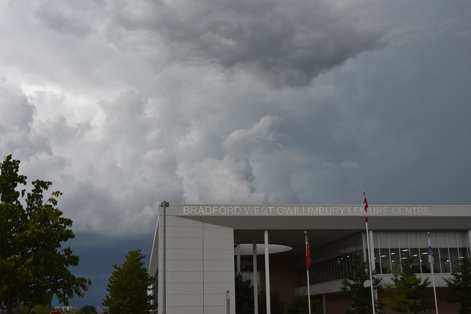
A band of strong wind in the upper atmosphere blowing from west to east, the jet stream follows the boundary of hot and cold air, but it’s been hanging over our region leading to weather systems that are “very active” and “volatile,” and contain “a lot” of energy.
Luckily, our area didn’t have a heat dome like last year, and few days this spring exceeded 30 C, helping to prevent things from becoming too severe, with Phillips noting there were fewer lightning strikes or tornadoes than usual in Ontario this spring.
While there’s still the chance for that hot, dry summer weather in August, the chief climatologist cautioned that it can be hard to predict exactly what to expect in terms of precipitation moving forward.
As an example, Phillips pointed to the storm that battered Toronto on July 16 with almost 100 mm of rain in one day, flooding major highways and transit routes, leaving people stranded. While not far away, Barrie only saw about six millimetres of rain.
However, when it comes to seasonal patterns, he concedes that often times, “the weather you see is the weather you’re going to continue to get.”
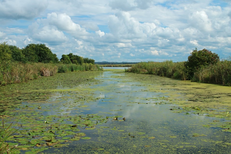
That can be a mixed blessing for the local watersheds in which the Lake Simcoe Region Conservation Authority (LSRCA) and the Nottawasaga Valley Conservation Authority (NVCA) both saw water flows about 50 per cent higher than normal from April-June.
Conservation authorities issue three different flood messages in order of severity from a water safety/flood outlook, to a flood watch, to a flood warning.
While neither issued any flood warnings this spring, the LSRCA issued four safety/flood outlooks, while the NVCA issued three safety/flood outlooks along with one flood watch.
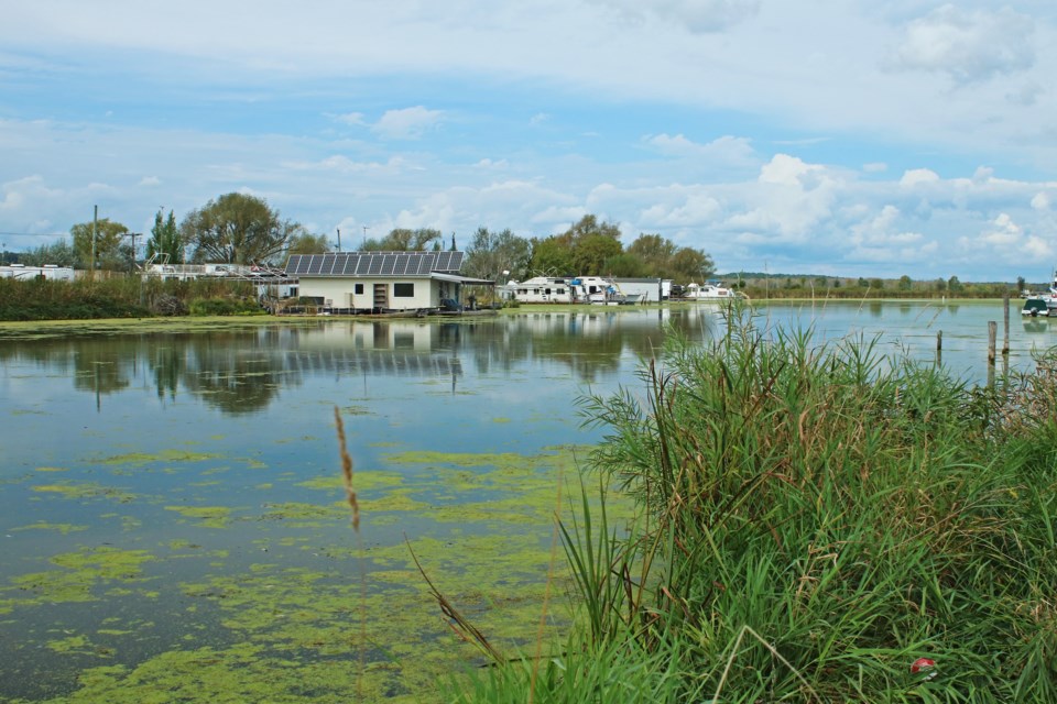
From an environmental perspective, both Sinem Connor, senior communications advisor for the LSRCA, and Maria Leung, senior communications specialist with the NVCA, explained that the increased water flow from precipitation has both benefits and drawbacks.
In addition to potential for flooding in low-lying areas, high water levels can destabilize or erode banks and increase water turbidity, as well as flush pollutants like pesticides, fertilizers or garbage into waterways, damaging fish and wildlife. As runoff flows over warm pavement it can even cause warming in waterways, reducing oxygen levels and promoting the potential for algae blooms.
“Pollution in our rivers and streams not only impact fish and wildlife, but it also impacts human health,” Leung said via email.
On the other hand, periodic high flows in river systems are a natural phenomenon that can help rivers with sediment transport, recharge groundwater aquifers and sustain baseline river flow, and both conservation authorities implement restoration projects as well as promote stormwater management and land-use planning to help mitigate negative impacts.
The representatives explained that it’s important for residents to understand these impacts, not only because high flows could lead to unsafe or dangerous conditions for anglers, canoeists, hikers, children and pets, but also because awareness of the issue can help residents take precautions to protect their homes and families.
“Informed residents are key in supporting initiatives by the conservation authority and municipalities to manage and mitigate impacts of severe weather events,” Connor said via email.
That includes the “torrential downpours” that hit the area and caused cancellations on July 10 from a storm system associated with the remnants of Hurricane Beryl.
Both Shane Singh, the owner of Springh Farms and Alex Widdifield who farms nearby said rain gauges showed almost 80 mm from the storm.
“Rarely does a hurricane come up and attack you from the west,” Phillips said, adding that anecdotally, we may be seeing more “jokers in the weather deck” year over year.
All this wet weather is a far cry from the unusually dry spring the area saw just last year, and while climate change may be playing a role, Phillips isn’t ready to draw any conclusions just yet.
“We know climate change produces extremes from one end of the pendulum to the other,” he said. “But next year might be normal.”
Phillips is cognizant that one or two years aren’t a pattern on their own, and in order to assess the potential impact of something like climate change, it would take decades if not half a century of data.
In the meantime, the scientist said it’s becoming more common to have situations similar to what was seen in Manitoba from 2020-22, when all the precipitation over those three years averaged normal “to the millimetre,” but were composed of two of the driest years on record followed by the wettest.
“My sense is what we’re seeing right now and in the last couple of years, these wild swings, might be a dress rehearsal of what we’re going to see more of in the future,” he said.
The best way to prepare for that is to find ways we can adapt, according to Phillips, who points to ski hill operators using snow machines in years of low snowfall, and suggested fields currently being used for corn or wheat could one day be better suited for rice.


